Arakan News Agency
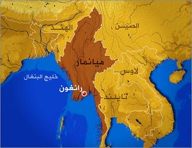
A 4.6-magnitude earthquake on Wednesday hit the border area between Myanmar and India, the Meteorological and Hydrological Agency said.
The earthquake, which hit a depth of 61 km north of the Tamo Earthquake Observatory in the Sagaing area on the border between the two countries, occurred at 14:14:25 local time (07:44:25 GMT).
A weak earthquake measuring 4.2 on the Richter scale hit Myanmar’s Ayeyawadi region at 28 km north-west of Patten at 03:36:33 local time (21:06:33 GMT) on Wednesday.
There have been no reports of damage from the two earthquakes so far.